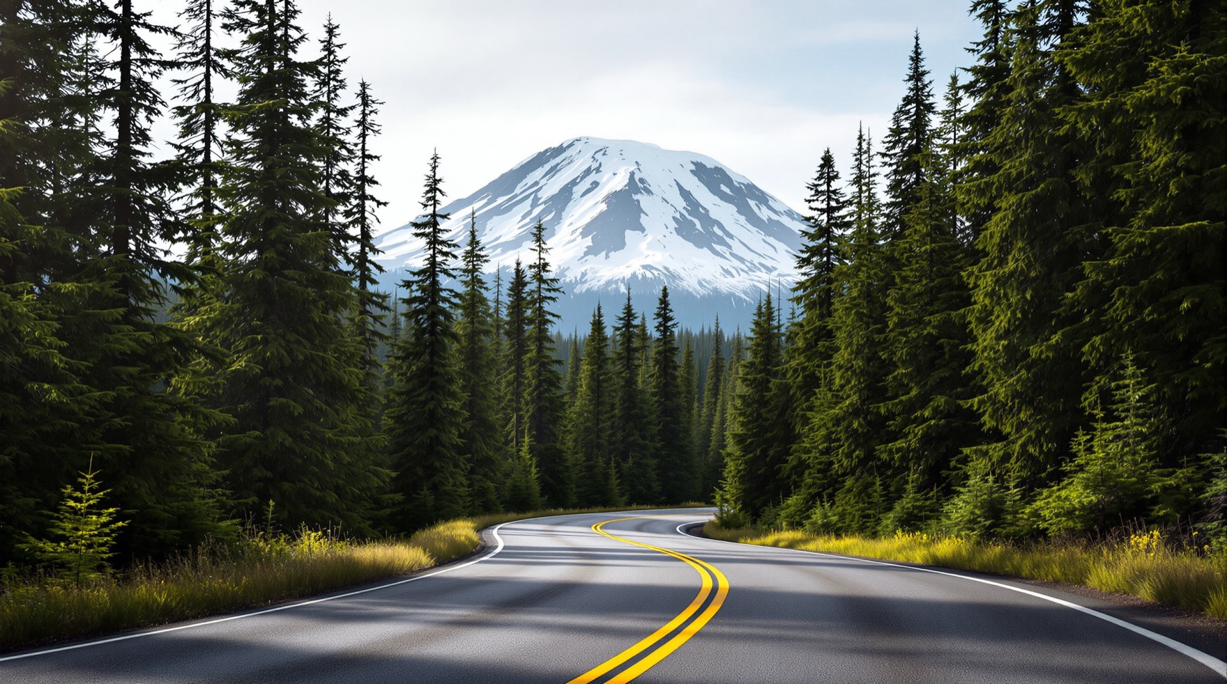
The Nisqually entrance, near Ashford, Washington, is the southwest gateway to Mount Rainier National Park and the only entrance open year-round. It is reached via State Route 706, which runs east from the town of Elbe through Ashford to the park boundary. Here is how to find it and what to expect.
Driving Directions
From Seattle & SeaTac (about 2 to 2.5 hours)
Head south on Interstate 5, then follow State Route 7 south from the Tacoma area to Elbe, and turn east on SR-706 to Ashford and the Nisqually entrance. Allow extra time on summer weekends.
From Tacoma & Olympia (about 1.5 to 2 hours)
From Tacoma, take SR-7 south to Elbe and SR-706 east. From Olympia, follow US-12 and connecting routes toward Morton and Elbe, then SR-706. Both approaches pass through classic Cascade foothill country.
The Road Up to Paradise
Inside the entrance, the road climbs about 6 miles to Longmire and continues roughly 12 miles more to Paradise, gaining thousands of feet. It is paved and scenic but winding — take your time, use pullouts for photos, and watch for wildlife. In winter, the stretch above Longmire is plowed for daytime access when conditions allow, and tire chains are frequently required.
Know Before You Go
- Fuel and supplies: top off and shop in Ashford or the down-valley towns; there is no gas inside the park.
- Cell service is limited near and inside the park — download maps in advance.
- Entrance fees and any seasonal timed-entry reservations apply; check current requirements first.
- Allow buffer time for the drive up and for parking, especially at Paradise on clear days.
Entrance passes: Mount Rainier National Park does not accept cash at its entrances, so plan to go cashless. On the NPS fees and passes page, a private, noncommercial vehicle pass is $30.00 for seven consecutive days, walk-up or single-bicycle entry is $15.00 per person for seven days, and the park's annual pass is $55.00; Washington's Discover Pass is for state parks only and does not apply here.
GPS and the five entrances: Because the park has five entrances, the NPS road status page warns that GPS can route drivers to the wrong entrance or toward closed gates, and rerouting can take hours — check directions and maps rather than relying on GPS alone. Along the river at the Nisqually Entrance, Longmire and Cougar Rock Campground stand geohazard warning sirens, covered in our guide to living beside a volcano.
Official Maps & Directions
For the authoritative park map, gate hours and directions, see the National Park Service directions page. To keep planning, review our seasons guide, sort your lodging, and line up your activities. Safe travels — and enjoy the drive; the anticipation is part of the trip.