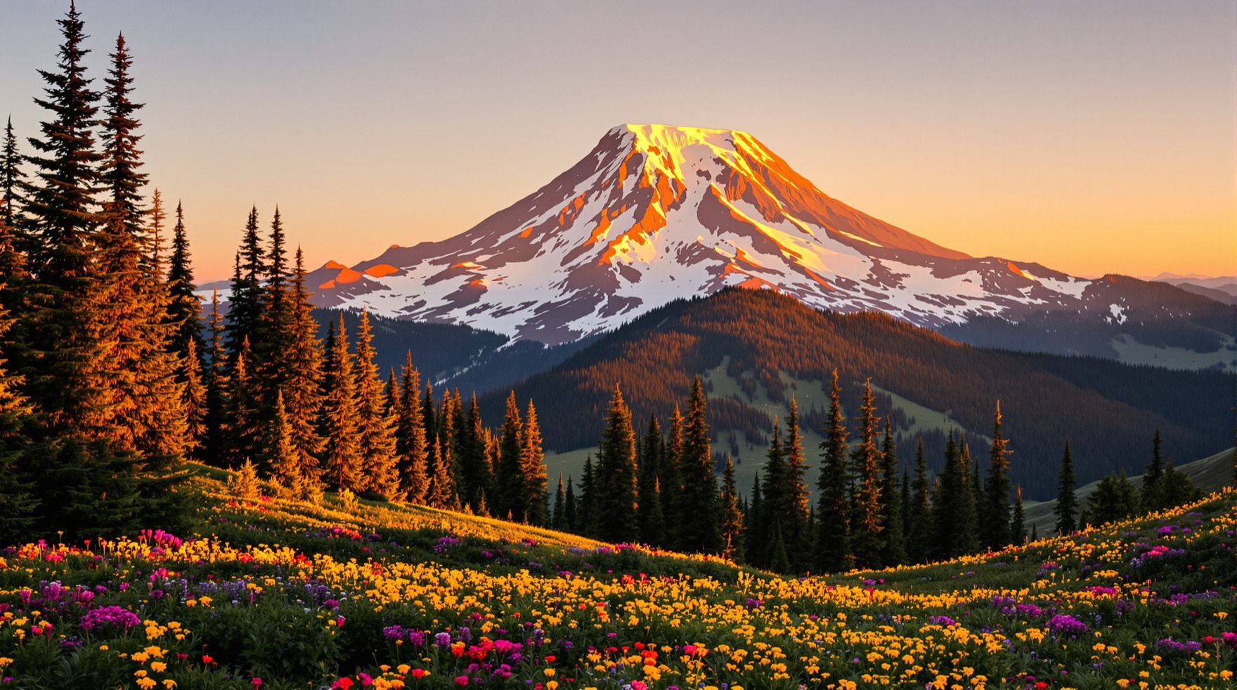
Every drive through the Nisqually gateway follows a glacial river valley carved from the flanks of an active Cascade volcano. For travelers staying near Ashford or driving between the entrance arch, Longmire and Paradise, understanding Mount Rainier's geology brings useful context to a visit. The National Park Service and the U.S. Geological Survey monitor the peak continuously and publish practical guidance on its volcanic and river hazards.
A Sleeping, Not Dead, Volcano
As the National Park Service geohazards page explains, Mount Rainier is sleeping, not dead. Active steam vents, periodic earth tremors and reported historical eruptions are the evidence it gives, and an active thermal system lies beneath the ice. Driven by magma deep under the volcano, that thermal system has melted out a labyrinth of steam caves beneath the summit icecap and hydrothermally altered the upper portion of the peak.
According to the U.S. Geological Survey's Mount Rainier profile, several dozen explosive eruptions since the last ice age have spread tephra (ash and pumice) across parts of Washington, and the last magmatic eruption occurred about 1,000 years ago. Seismic monitoring stations around the mountain should provide days or weeks of advance warning of impending eruptions, though smaller surface hazards such as debris flows, glacial outburst floods and rockfall can occur with little warning.
What a Lahar Is
Large lahars — volcanic mudflows of water, rock and mud — have originated both from eruptions and from collapses of Mount Rainier's heavily glaciated andesitic cone, where hydrothermal alteration has contributed to structural weakness. During an eruption about 5,600 years ago, the once-higher edifice collapsed to form a large crater open to the northeast, much like Mount St. Helens after 1980. Ensuing eruptions filled that collapse crater and raised the summit again, while large lahars have reached as far as the Puget Sound lowlands.
On a day-to-day visit, smaller debris flows and glacial outburst floods do not require an eruption. The National Park Service notes that any glacially sourced river in the park is at risk of a debris flow, and lists Longmire, Carbon, and the campgrounds at Cougar Rock, Ohanapecosh and White River among the locations vulnerable to geologic hazards, along with many trails that cross river valleys.
The 2025 Earthquake Swarm
How closely scientists track the volcano was shown in summer 2025. As reported by the U.S. Geological Survey's Cascades Volcano Observatory, an earthquake swarm that began at 1:29 a.m. PDT on July 8, 2025 was the largest ever recorded at Mount Rainier. By 8 a.m. PDT on August 25, 2025, the Pacific Northwest Seismic Network had located about 1,350 earthquakes, after a peak rate of 41 located events per hour on the morning of July 8 decayed to fewer than one located event per day by August 25.
The earthquakes were spread mainly 1.5 to 4 miles (2 to 6 kilometers) beneath the summit, with the largest reaching magnitude 2.4 on July 11, 2025 — too small to be felt at the surface or to cause damage. Typically, earthquakes at Mount Rainier are located at a rate of about nine per month, with smaller swarms occurring one to two times a year and attributed in past swarms to the circulation of fluids. Throughout the July and August 2025 swarm, the alert level and color code for Mount Rainier remained at GREEN / NORMAL, within normal background activity.
Sirens Along the Nisqually
Because the Nisqually River drains directly through the park's southwest corridor, the National Park Service has placed geohazard warning sirens at high-visitor locations along the river, including Cougar Rock Campground, Longmire and the Nisqually Entrance. Travelers driving the route outlined on our getting there page pass all three points between the entrance arch and the climb toward Paradise.
If you hear a geohazard siren during your visit, head uphill away from the river immediately. According to the National Park Service, a location 160 feet (50 meters) or more above river level should be safe.
Reading the River
Many trails and river viewpoints sit away from the siren network, so the National Park Service advises visitors near any glacially sourced river to watch and listen for natural signs of a debris flow or lahar:
- A rapid rise in water level in the river or creek channel.
- A prolonged shaking of the ground felt near the valley floor.
- A roaring sound coming from up-valley, often described as the sound made by a fast-moving freight train.
If you notice any of these signs near a river, move quickly to higher ground at least 160 feet (50 meters) above river level.
Tahoma Creek and the Westside Road
Just inside the Nisqually Entrance, the Westside Road and the Tahoma Creek drainage show how often glacial streams rework the landscape. In the late 1980s, a very large debris flow destroyed several sections of the Tahoma Creek Trail and a large section of the Westside Road, leaving visitors, staff and vehicles stranded. Since that time, the Westside Road has been closed to public vehicle access at Dry Creek and the Tahoma Creek Trail is no longer maintained.
Tahoma Creek has continued to experience floods and debris flows, with around 35 debris flows and glacial outburst floods recorded from 1967 to 2023. Understanding that active landscape enriches both the human story on our history of the Nisqually gateway page and the seasonal advice on our when to visit guide.